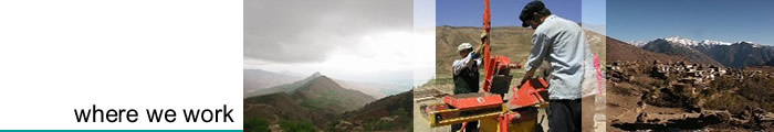
ATA's projects in Nepal are in high altitude areas and focus predominantly on sustainable energy, food security and education.
Due to the lack of infrastructure and the hostile environment, travelling is difficult and some of our projects can only be reached after several days trekking, and in fact our beneficiary groups are some of the most isolated communities in the world.
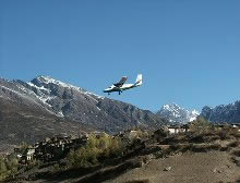
Humla District lies in the rainshadow of the Himalaya, and consequently receives little or no precipitation during the monsoon season. Populations exist at survival level due to the difficult climate and extreme conditions.
Humla is Nepal's most northern district, and is situated at the far western extremity, on the border with the Tibetan Autonomous Region of China. It is located between 29°35 to 30°57 longitude north and 81°15 to 82°30 latitude east.
The altitude in the region varies between 1,219 and 7,315 metres above sea level. Humla district covers an area of 5,655km², making it the second largest district in Nepal.
Because of the mountainous terrain, which accounts for over 50% of the total land area, very little land is devoted to agriculture - around 1% of the total, while high altitude pasture accounts for another 24%.
|